Parts of US Shut Down Amid Forecasts of Record-Breaking Snow Storms
Associated Press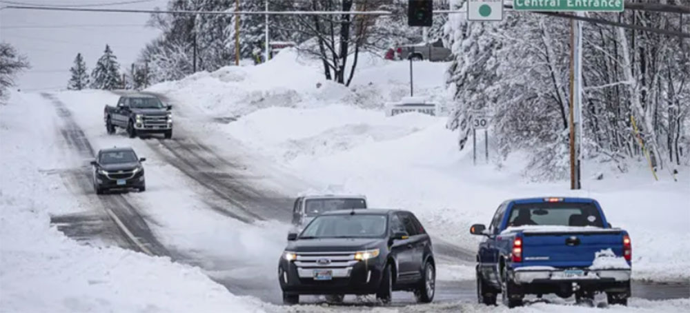 Snow in northern Minnesota on 15 December 2022. As much as 25in of snow may pile up in parts of the state in the coming days. (photo: Holden Law/AP)
 Parts of US Shut Down Amid Forecasts of Record-Breaking Snow Storms
Associated Press
Storm system expected to affect about 43 million people, first in the northern US plains and then on the east coast later this week
Schools throughout the Dakotas, Minnesota and Wisconsin were called off for Wednesday. Offices closed and so did the Minnesota legislature. Emergency management leaders warned people to stay off the roads or face potential “whiteout” conditions.
The storm will make its way toward the east coast later in the week. Places that do not get snow may get dangerous ice. Forecasters expect up to a half-inch of ice in areas of southern Michigan, northern Illinois and some eastern states.
The snowfall could be historic. As much as 25in may pile up, with the heaviest amounts falling across east-central Minnesota and west-central Wisconsin, the National Weather Service (NWS) said. Wind gusts could reach 50mph and wind chills are expected to hit -50F (-46C) in some parts of the Dakotas and Minnesota.
The Minneapolis-St Paul area could see 2ft of snow or more for the first time in over 30 years.
The weather service said the blizzard would involve two rounds. For the Minneapolis-St Paul area, the first blast arrives on Wednesday afternoon with up to 7in of snow. Round two extending into Thursday is the real whopper, “with an additional 10 to 20in expected”.
An NWS meteorologist, Frank Pereira, said the system was expected to affect about 43 million people.
Temperatures could plunge to -15F to -20F (-26C to -29C) on Thursday and to -25F (-32C) on Friday in Grand Forks, North Dakota. Wind chills may fall to -50F (-46C), said Nathan Rick, a meteorologist in Grand Forks.
Wind gusts of 35mph will be common in western and central Minnesota, with some reaching 50mph. That will result in “significant blowing and drifting snow with whiteout conditions in open areas”, the NWS said.
According to the NWS, the biggest snow event on record in the Twin Cities was 28.4in from 31 October to 3 November 1991 – known as the Halloween Blizzard.
“They’re not going to get them in time for this snow,” VandenBos said.
Forecasters at AccuWeather said the same storm system could result in icing across a 1,300-mile band from near Omaha, Nebraska, to New Hampshire on Wednesday and Thursday, creating potential travel hazards in or near cities such as Milwaukee, Detroit, Chicago and Boston.
At the same time, record warmth is expected in the mid-Atlantic and south-east – 30F to 40F above normal in some places. Record highs are expected from Baltimore to New Orleans and in much of Florida, Pereira said.
Washington DC could hit 80F on Thursday, which would top the record of 78F set in 1874.
California was also preparing for a winter storm. A “major snow event” was possible in foothills and mountains near Los Angeles, with several inches predicted even for elevations as low as 1,000ft, the NWS said.
“Nearly the entire population of California will be able to see snow from some vantage point later this week,” a UCLA climate scientist, Daniel Swain, wrote on Twitter.
Daytime temperatures in southern California were unlikely to get out of the low to mid-50sF and potentially damaging winds reaching 50mph were predicted along the central coast, with gusts of 70mph possible in mountains.